
ELEVATION & TERRAIN
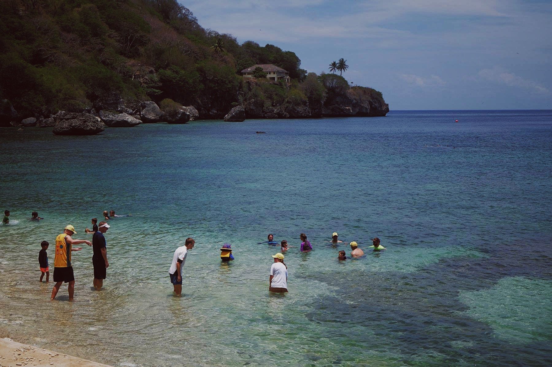
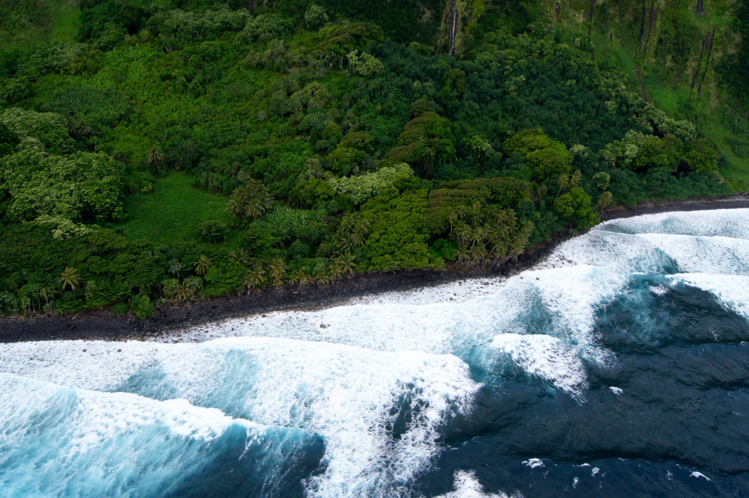
Discover Christmas Island, where the marathon track winds through a landscape of stunning diversity. As you lace up your running shoes, prepare to conquer the island's challenging terrain. Steep cliffs flank much of the coastline, creating a dramatic backdrop as you navigate the course. Rising abruptly from sea level, Christmas Island boasts a central plateau reaching heights of up to 361 meters (1,184 feet) at Murray Hill, offering panoramic views that inspire awe in every stride.
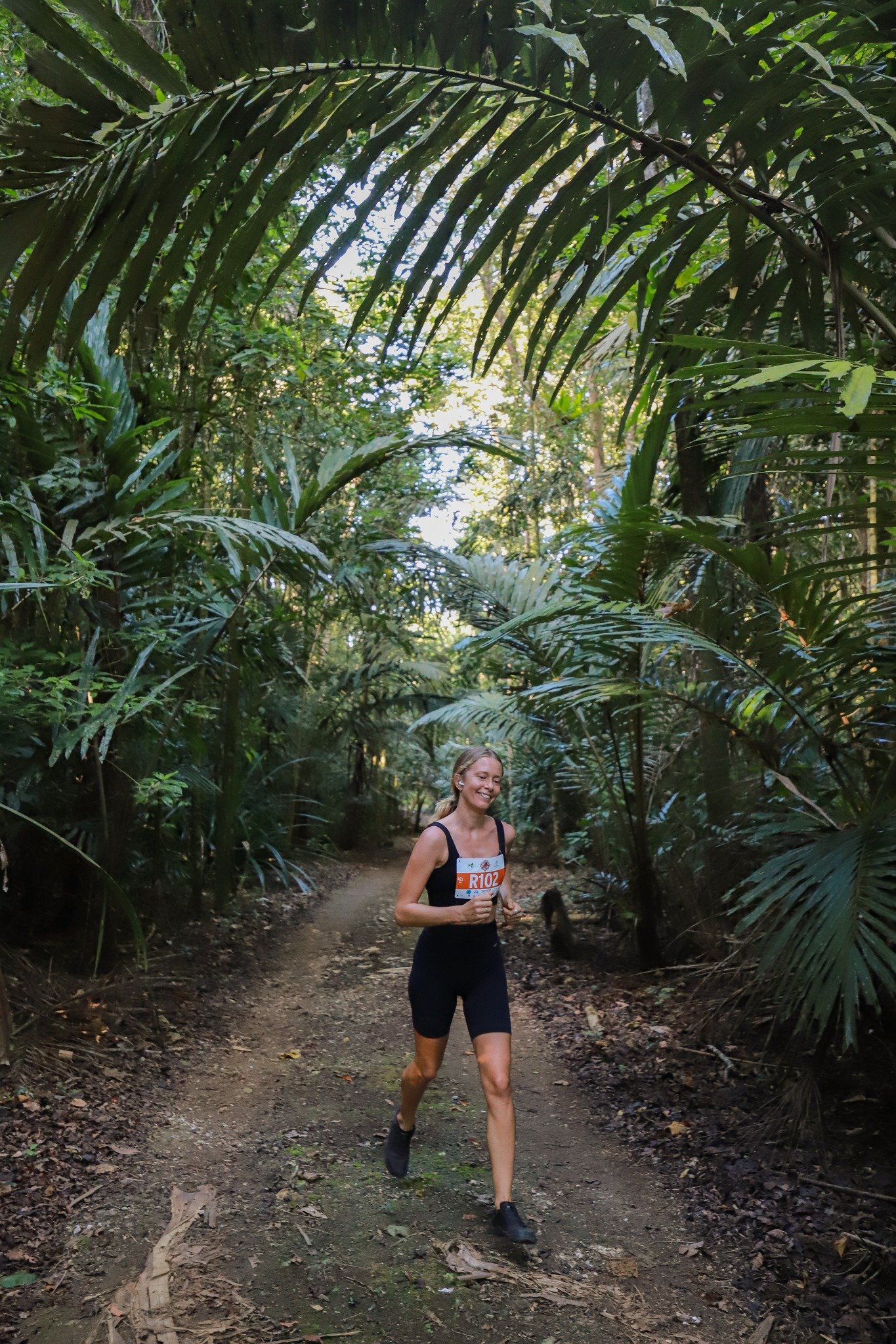
The track takes you through lush tropical rainforests, with 63% of the island designated as national parkland, ensuring a truly immersive experience with nature. The island's tropical climate brings warm temperatures year-round, with average highs ranging from 25°C to 30°. Humidity levels are typically high, adding to the challenge and allure of the marathon journey.

COURSE MAPS
Course Map Full 42.2km & Half 21.1 km
Overview:
This scenic challenging marathon course starts at the top of the island 260m above sea level and runs on roads surrounded by tropical rainforests.
All events showcase the unique and beautiful environment Christmas Island offers and finishes at Flying Fish Cove in the Malay Kampong Settlement area.

Click To Download Map
2km Family Fun Walk
Overview:
Starting from Flying Fish Cove, along Jalan Pantai past the Roundabout to the Supermarket turning point on Gaze road, proceed back to the finish line at Flying Fish Cove.
5km Dash
Overview:
The 5km Dash starts and returns to scenic Flying Fish Cove, whilst the 2km stroll held each year with a fancy dress theme for the kids, sees mums & dads with strollers, Cowboys, Indians, Super Heroes, and Aliens head to and return from the centre of town.

Click To Download Map

Click To Download Map